
Metairie ZIP Directory Coverage
The working USPS group contains eleven ZIPs associated with Metairie destination labels. Some are ordinary local search aids. Others have special or alternate relationships that were not mapped to a residential neighborhood in the official material. USPS must decide the ZIP for one street address. The table therefore describes destination groupings and local clues, not hard neighborhood borders. No authoritative current count of residents, voters, or parcels by these ZIPs was found, so the directory does not attach population totals to them.
| ZIP Code | Areas Covered | Post Office | Notes |
|---|---|---|---|
| 70001 | Metairie grouping; civic listings use it | Johnson Street location | Verify exact street delivery |
| 70002 | Central and East Bank search aid | Metairie Post Office | Facility ZIP is not a delivery boundary |
| 70003 | Metairie grouping and community clues | Destination label only in inspected source | 70033 groups with it |
| 70004 | Airline Park civic-directory clue | Grouped to Metairie 70001 | Do not replace a street ZIP |
| 70005 | Lakeshore, Bucktown, Old Metairie-edge clues | Station A Metairie | Station does not define neighborhood limits |
| 70006 | Elmwood and Pontchartrain search aid | Grouped to Metairie 70002 | Can cross community and CDP edges |
| 70009 | Metairie destination grouping | Metairie 70009 label | Not one neighborhood |
| 70010 | Metairie destination grouping | Grouped to Metairie 70009 | Keep the source ZIP |
| 70011 | Civic-directory material uses it | Grouped to Metairie 70009 | Verify ZIP and ZIP+4 |
| 70033 | Special or alternate relationship | Grouped to Metairie 70003 | Do not call it residential without an address check |
| 70055 | Special or alternate relationship | Grouped to Metairie 70005 | Do not assign a neighborhood |
The USPS L007 grouping pairs several numbers under common destination labels. That is a mail-container relationship, not proof of street delivery or residence. The current AIS Viewer and City State Product should control a present address decision. Keep the ZIP printed in the source while checking it, since replacing it with a destination label can hide a useful difference.
USPS Checks Metairie ZIP Codes
The USPS ZIP Code Lookup offers three distinct modes. By Address requires street, city, and state, while company, unit, and ZIP are optional. By City and State lists postal results for the named place. Cities by ZIP reverses the question and requires the number. USPS also warns that a result does not confirm any person or company at an address. It confirms postal formatting and routing.
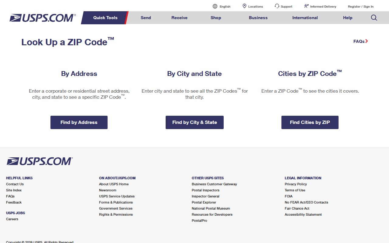
The screenshot shows why the complete address mode is the right first step for one Metairie property.
The PostalPro City State Product is the canonical city and state list and was shown as updated June 30, 2026.
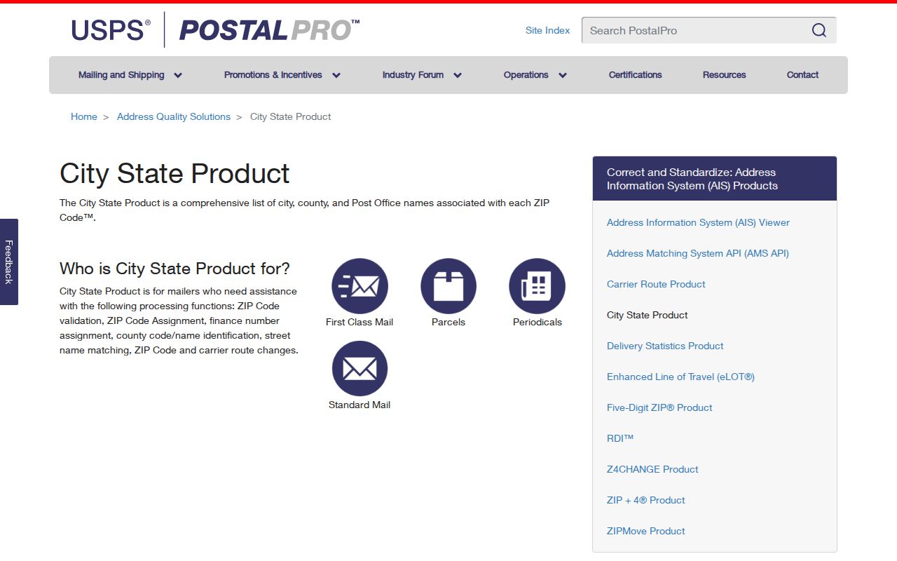
This product supports broad label checks, while the individual USPS address lookup remains the better tool for a house or unit.
Metairie ZIP Postal Facilities
The Metairie Post Office details list the facility at 3301 17th Street with the 70002-9998 facility ZIP. Station A is listed at 701 Metairie Road, Suite 1B102, using 70005-4053. Johnson Street appears at 3517 Johnson Street with 70001-5100. These addresses help locate a counter, but none draws the delivery area for every nearby street.
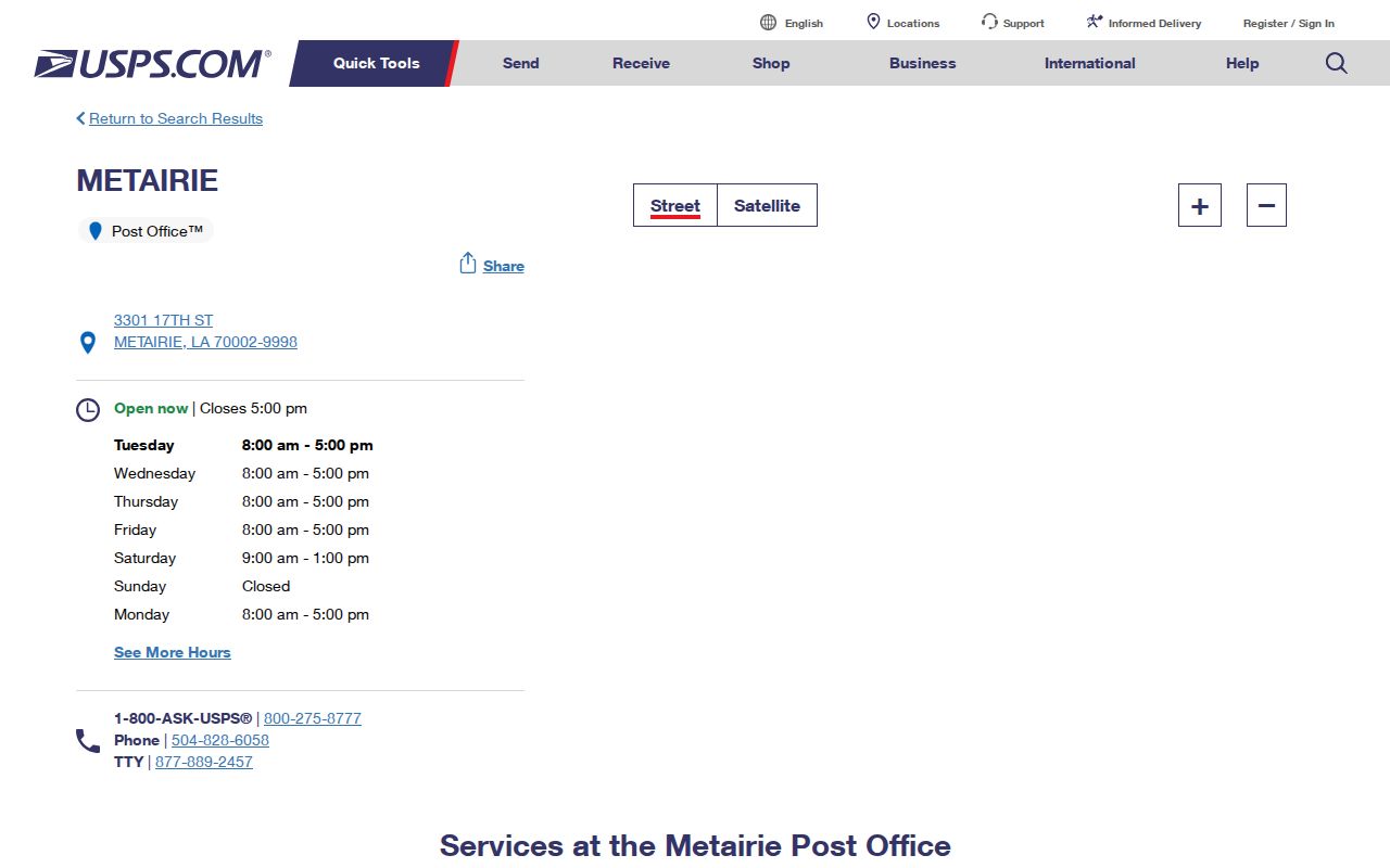
The facility page is best used for current counter information after USPS has normalized the resident address.
For a mailing question that the online result does not settle, use USPS customer service or ask at the local counter. Delivery records are not a general public resident roster. Postal access should be cross-checked with Jefferson GIS, the Assessor, and Census geography when the question involves jurisdiction rather than mail.
Search Metairie Residents by ZIP
Only some official portals accept a ZIP. The voter name form requires a five-digit ZIP plus first name, last name, and birth month/year. Its address form requires ZIP, address, and city, with apartment or lot optional. The Assessor has no ZIP field. JeffMAP also has none. Those parish tools use address, parcel, owner, intersection, subdivision, block, or lot instead. A reliable ZIP code directory workflow moves from postal validation to the record key each custodian actually supports.
- Enter the full address in USPS By Address, including the apartment or unit when known.
- Save both the original address string and the USPS preferred city, state, ZIP, and ZIP+4.
- Use the normalized street string in JeffMAP and the Assessor, then record the parcel and legal description.
- Use the voter portal only with its required minimum fields and heed its address non-linkage notice.
- For older records, test the postal city plus Metairie, Jefferson, and the known neighborhood label.
The official voter address form illustrates the ZIP-capable route.
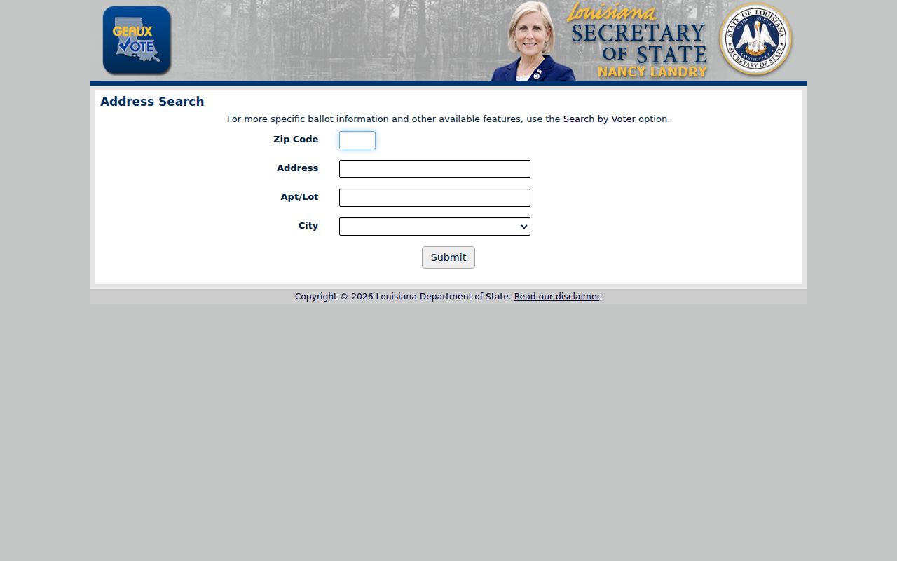
Its required ZIP, address, and city fields narrow a query, but the portal expressly avoids linking voters into a public household roster. Once a ZIP resolves to a street, the Metairie street directory explains the address and parcel chain.
Metairie Parcels Ignore ZIP Filters
The Jefferson Parish Assessor searches by address, parcel number, owner, subdivision, block, and lot. It exposes no ZIP field. That is an important Metairie quirk. A postal code can start the search, but it cannot replace a parcel identifier or legal description. Condo units may share one building address while their legal descriptions differ. Mailing and physical addresses can also diverge.
The Assessor ward and address guidance helps explain the parish record vocabulary.
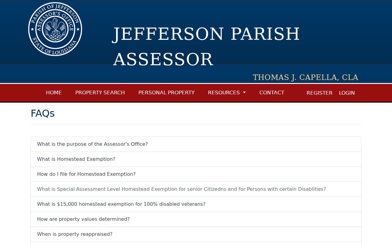
The guidance reinforces why parish wards and parcel keys must be kept separate from postal ZIP groupings.
| Portal | ZIP use |
|---|---|
| USPS | Address, city/state, and cities-by-ZIP modes |
| Voter name lookup | Five-digit ZIP required with name and birth month/year |
| Voter address lookup | ZIP, street, and city required; apartment or lot optional |
| Assessor | No ZIP field; use address, owner, parcel, subdivision, block, or lot |
| JeffMAP | No ZIP field; use address, intersection, or subdivision |
| JeffNet | Use name, date, instrument, case, or legal description |
Metairie Census and Postal Lines
Metairie is a Census-designated place and an unincorporated East Bank community, not an incorporated city. The Census boundary has GEOID 2250115. It held 143,507 people in 2020 across 23.26 square miles of land. Those figures describe the CDP only. They do not count everyone using a Metairie mailing label, and they should not be converted into per-ZIP totals.
The Census TIGERweb Metairie geography provides the formal CDP layer.
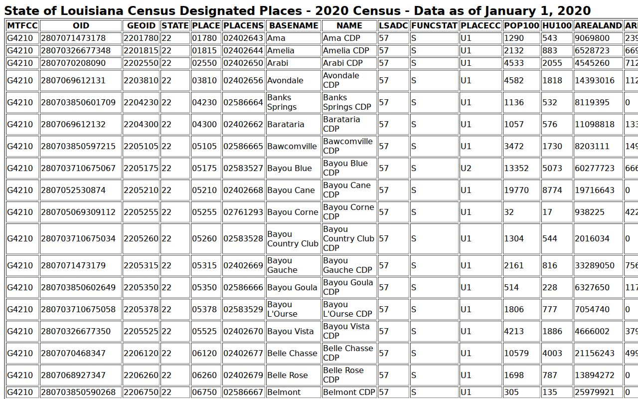
The boundary view demonstrates why a Census count and a USPS destination group answer different questions.
Neighborhood terms add a third layer. Old Metairie, Bucktown, Metairie Club Gardens, Airline Park, Bonnabel, Elmwood Park, and Pontchartrain Shores may appear in civic, subdivision, planning, or historical records. A ZIP may cross a CDP edge, while a civic group may cover only one subdivision. Record which layer supplied each label.
Metairie ZIP Alias Traps
The L007 list groups 70004 under the 70001 destination, 70006 under 70002, 70033 under 70003, and 70055 under 70005. It also groups 70010 and 70011 under 70009. Those pairs can look like errors when two sources are compared, but the list describes postal containers. It does not authorize changing the ZIP printed on a deed, voter form, directory entry, or parcel note.
Keep two address fields in a research note. The first should preserve the source exactly. The second should hold the current USPS-normalized form and the lookup date. Then test both versions in year-specific directories and newspapers. This approach is especially useful when a later postal label differs from an older Metairie, Jefferson, or neighborhood label. A difference becomes a search lead rather than a reason to merge records.
Metairie ZIPs Versus Local Limits
There is no Metairie city limit to trace because Metairie is unincorporated. Parish Planning, the Assessor, the Clerk, the Sheriff, and the Registrar handle records that a city office might keep elsewhere. Incorporated Kenner and Harahan sit within the broader East Bank geography, so a Metairie mailing label alone cannot settle jurisdiction. Confirm the municipality or unincorporated area in GIS and then use the custodian that serves the parcel.
- ZIP and ZIP+4
- A ZIP is the five-digit delivery area. ZIP+4 adds a smaller route, block, building, or delivery segment.
- PO-box ZIP
- A postal code used for post-office boxes rather than a mapped residential neighborhood.
- Unique ZIP
- A code assigned to one high-volume organization or site, not a general community area.
- Carrier route
- A postal delivery path that can cut across common neighborhood labels.
Boundary check. Treat every ZIP as a postal clue. Use USPS for delivery, Census for the CDP, and Jefferson Parish GIS for legal local context.
Note: No dated Metairie ZIP split or realignment history was found, so current USPS products should not be presented as historical boundary maps.