
Sources Around Metairie Neighbors
Each source answers a different block question. JeffMAP defines the parcel pattern; the Assessor adds owner and legal-description fields; planning files show public land-use activity; and civic associations supply neighborhood vocabulary. None is a complete household roster. Use one inspection date across the block so changing assessment and GIS data do not create a false comparison.
| Source | What It Shows About a Block | Access |
|---|---|---|
| JeffMAP parcel tools | Lots, buildings, streets, zoning, and a bounded parcel export | Free map viewer |
| Assessor parcel cards | Owner, mailing and physical addresses, block, lot, and deed leads | Free parcel search |
| Planning and zoning files | Public proposals, staff analysis, agendas, and notices near a site | Parish planning pages |
| Civic association directory | Neighborhood names and public organization contacts | Official directory |
| Historical directories | Dated occupants and street context for a past block | Library or archives |
An owner name is evidence of a recorded property interest. A matching mailing and physical address, or a homestead flag, can strengthen an occupancy clue but still does not list all residents. Mark the result as an adjacent parcel and recorded owner unless a separate dated source supports residence.
Buffer a Metairie Neighbor Block
JeffMAP's Buffer tool can use a selected property parcel or a drawn polygon. Enter a distance and unit, apply the buffer, then export the parcels inside it to Excel. A parcel buffer works for a compact ring. A polygon is better when the question follows one side of a block or when a corner, canal, or broad road would make a circle misleading.
The official Planning and Zoning Map page introduces the map used for unincorporated Jefferson Parish.
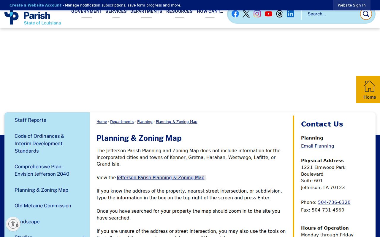
The map is based on aerial photography and field work, not a property survey. Save the selected parcel, buffer shape, distance, units, layer state, export name, and date so the result can be reproduced.
Map Metairie Neighbors by Parcel
Begin with one verified physical address. JeffMAP searches an address, intersection, or subdivision, while the Assessor accepts an address, parcel, owner, or subdivision with block and lot. The two systems serve different roles: one shows map relationships and the other provides the assessment record.
- Locate the address in JeffMAP and click the parcel outline, not just the building marker.
- Use a parcel or polygon buffer and review roads, canals, and jurisdiction lines before exporting.
- Open each exported parcel in the Assessor search and record its owner, physical address, mailing address, and legal description.
- Label every result with the same inspection date and distinguish owner from occupant.
- For a full named-street chain, use the Metairie street directory workflow.
The ArcGIS tax-parcel service exposes map fields and a layer edit date, but it is not the owner database. Use the Assessor card for ownership and the deed index when title detail matters.
Read the Metairie Parcel Layer
The public ArcGIS service is useful for checking parcel geometry and field structure. It exposes fields such as flood zone, base flood elevation, mortgage reference flags, and location identifiers. Those fields describe a mapping layer. They do not prove the identity of anyone living on the lot.
The Jefferson Parish tax parcel layer shown below is a technical companion to the main viewer.
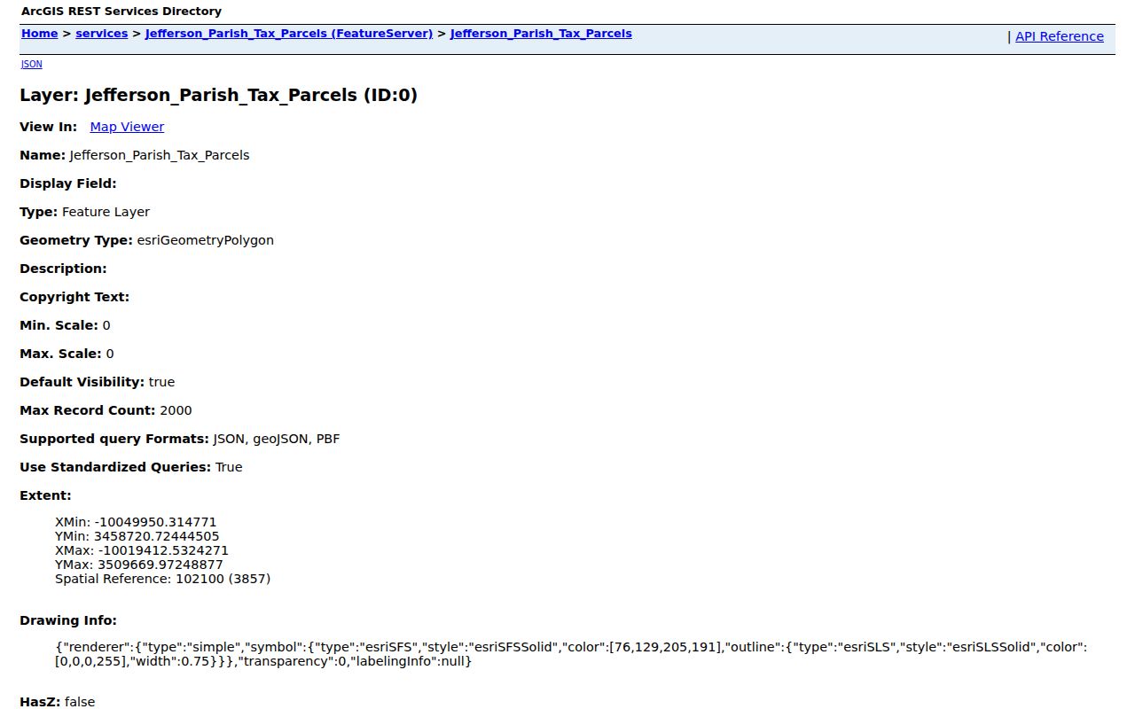
Record the layer date and move to the Assessor for owner interpretation. This separation keeps a geometry result from being overstated as a resident finding.
Metairie Civic Directory Names Blocks
The East Bank Civic Associations directory displayed 55 listings during inspection. It includes a name field, category selector, alphabet filter, search control, pagination, and public map or contact links. Metairie-area names include Airline Park, Beverly Knoll, Bissonet, Bonnabel, Bucktown, Causeway, Elmwood Park, Green Acres, Metairie Club Gardens, Metairie Lakefront, Metairie Terrace, Old Jefferson, Pontchartrain Shores, Suburban Terrace, and Veteran Heights.
Use the official civic associations directory to verify current public contacts.
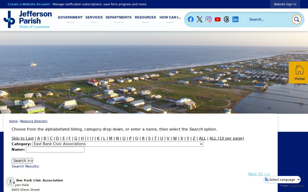
An association can clarify a neighborhood name, public meeting route, or community boundary. It is not a membership roll, and no public membership roster was found.
Parcel questions
Use JeffMAP and the Jefferson Parish Assessor for lot identity and recorded ownership.
Association questions
Use the parish directory's current public contact for meetings, boundaries, or published news.
Historical questions
Ask East Bank Regional Library or a historical society for dated neighborhood material.
Old Metairie Uses 300 Feet
The Old Metairie Commission process creates an unusually clear block-scale record. Published procedure sends notice to owners within 300 feet of a proposed demolition, construction project, pool, variance, or conservation review. A posted sign and legal advertisement add dated public context. The circle identifies a notice area, not a group of confirmed residents.
Search the Old Metairie agendas and minutes for the meeting record.
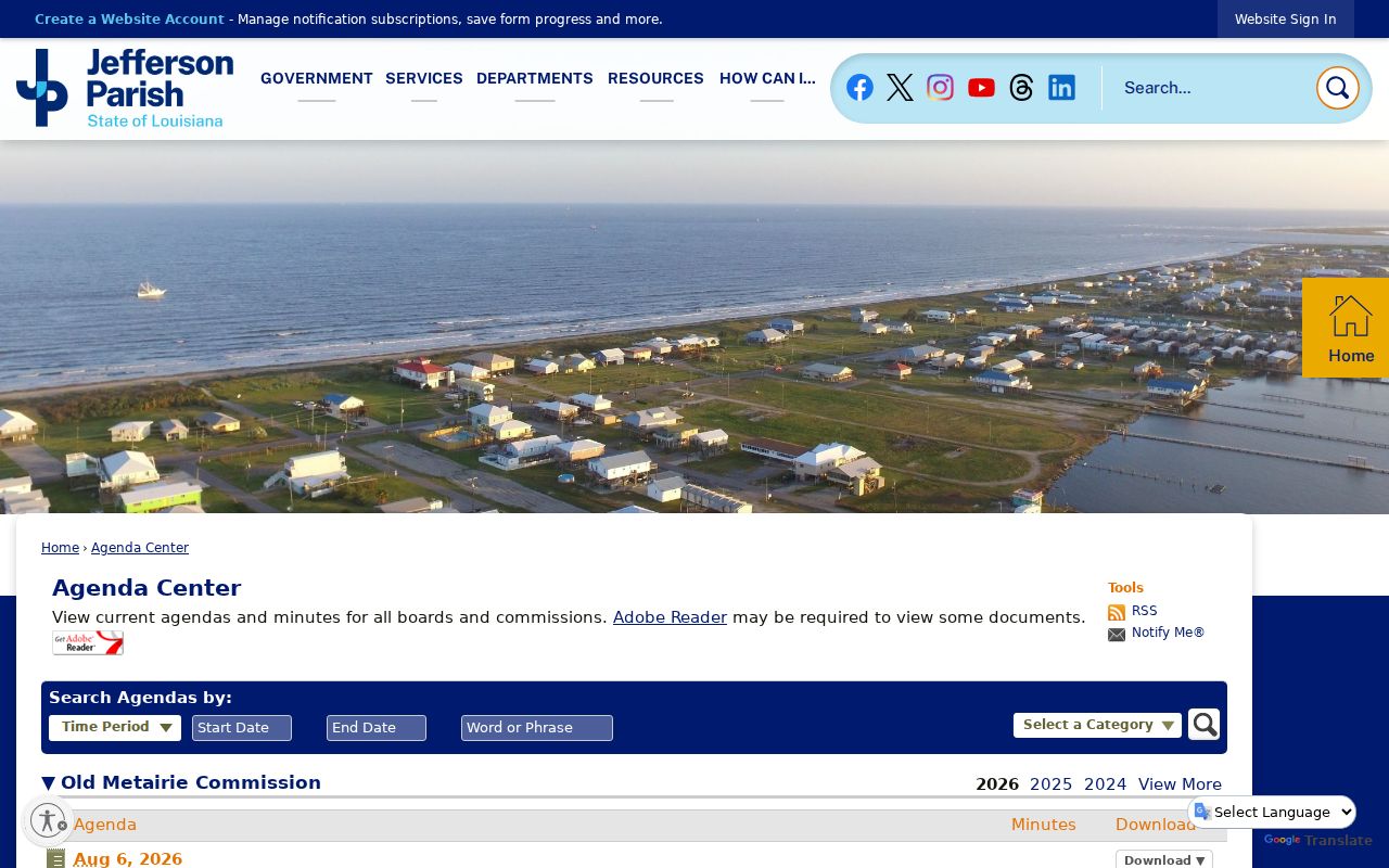
Then compare the subject parcel and notice radius with the staff report. An agenda proves that a matter was scheduled, not that it was approved.
The parish also publishes Old Metairie staff reports with project analysis.
Together, the report, agenda, parcel map, and notice rule describe neighborhood change without turning nearby owner names into an occupant list.
Metairie Blocks Cross Map Edges
A geometric neighbor is not always a practical neighbor. A canal, divided road, corner lot, levee area, or jurisdiction line can sit inside a circular buffer. Metairie itself is an unincorporated Census-designated community, while JeffMAP's planning coverage excludes incorporated Kenner, Gretna, Harahan, Westwego, Lafitte, and Grand Isle.
Inspect streets, waterways, parcel lines, imagery, political boundaries, zoning, and land-use layers before defining the study area. Save the map view, then state whether “block” means parcels that touch, properties within a set distance, or lots enclosed by a hand-drawn polygon. Clear geography prevents a broad radius from being mistaken for a social claim about your neighbors.
Note: A Metairie mailing city is a postal label and does not establish the parcel's municipal boundary or civic-association area.
Compare Metairie Neighbor Sources
Official sources are slower because each one makes a narrow claim. Commercial neighbor tools may merge old names, phone data, and addresses without showing how fresh each field is. For reliable block research, the ability to name the custodian and inspection date matters more than a large result list.
| Question | Official Record Route | Commercial Category |
|---|---|---|
| Which lots touch? | JeffMAP parcel lines and buffer | Map basis may be unclear |
| Who owns a lot? | Assessor card, then recorded deed | Names may be merged or stale |
| What is the area called? | Subdivision field and civic directory | Neighborhood labels may be broad |
| Who lives there? | No single complete public roster | Occupancy claims may lack dates |
Keep a source log with the exact URL, search string, result date, and the limited claim each record supports. Recheck a parcel before publishing or relying on it.
Respect Metairie Neighbors' Privacy
Parcel sources generally omit renters, household members, visitors, utility customers, and people who receive mail. The Louisiana Voter Portal also warns that voter data are not linked to address records for registrant protection. Its address mode should not be treated as permission to publish a block roster.
The Louisiana Address Confidentiality Program supplies a substitute address to qualifying relocated victims. Other voter, vital, juvenile, protected-person, and law-enforcement exceptions can also restrict a result. An absent or substituted address may reflect a safety rule. Do not try to defeat it.
Lawful use. Use block records for civic curiosity, public planning, reconnection, or personal safety awareness. Never use them to watch, harass, intimidate, or harm another person.